Hudson Riverama
Please note, Hudson Riverama is closed until further notice. Check back for updates.
Hudson Riverama is the Museum’s hands-on, interactive teaching gallery that focuses on the natural and environmental history, habitats, flora, and fauna, as well as geography and landscape of the Hudson River. It is a multimedia experience geared towards children, with computer and mechanical interactives, videos, models, music, artwork, and more that connect visitors to the history and eco-system of “America’s First River.”

Photo: Yuliya Levit
Riverama is a journey north to south along the Hudson River. You can learn about the three geographic sections of the Hudson—the Upper Hudson from Lake Tear of the Clouds in the Adirondack Mountains to the city of Troy in Rensselaer County; the Mid-Hudson from Troy through the Catskills and Highlands to the city of Peekskill in Westchester County; and the Lower Hudson from Peekskill into New York Harbor, connecting the river to the sea. Learn about each region’s major features, its animals and plants, and the human impact on each area.
One of central features of Hudson Riverama is a 31-foot, 3D topographic map of the entire river. Based on highly detailed aerial and satellite photographs, it shows the physical characteristics of the river’s landscape and major landmarks, towns, cities, highways, bridges, and railroads. You can see the river from the mountains to New York Harbor and the ocean.
The Hudson River is a vital natural resource for all of us who share this wondrous waterway that sweeps through the state. The Hudson River Museum is situated right along the banks of the Hudson River and it inspires many of our exhibits and programs, flowing through our history, our art, and our heritage.
Hudson River Facts
Length: 315 miles
Watershed: 13,390 square miles
Highest Source: Lake Tear of the Clouds, elevation 4,322 feet on the slope of Mr. Marcy in the Adirondack Mountains
Mouth: New York Harbor
Age: Approximately 75,000,000 years; 11,000 in present form
First Human Contact: Algonquin tribes, 10,000 B.C.
Earliest Name: Muhheakantuck, the early Native American name for the “river that flows both ways,” which describes the tides and currents of the Hudson River that create two-directional flow in the water
Hudson River Explorers
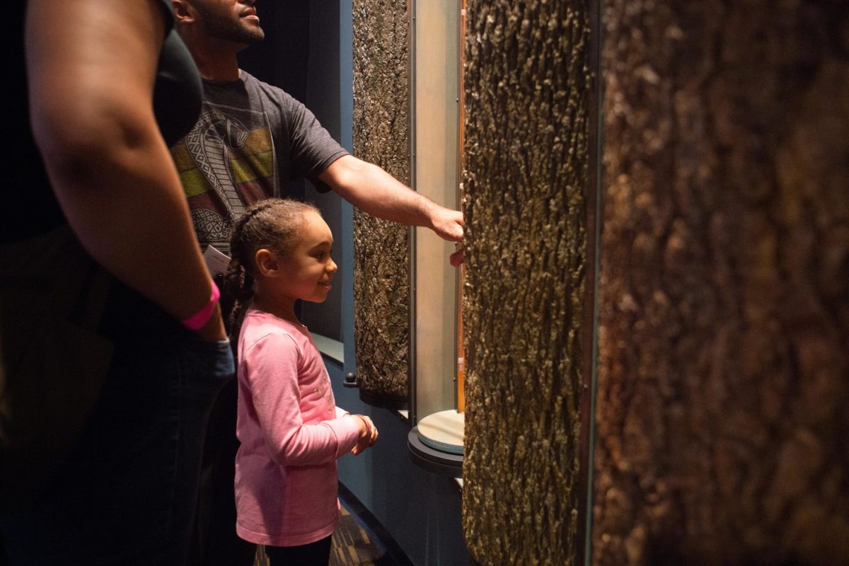
Photo: Yuliya Levit